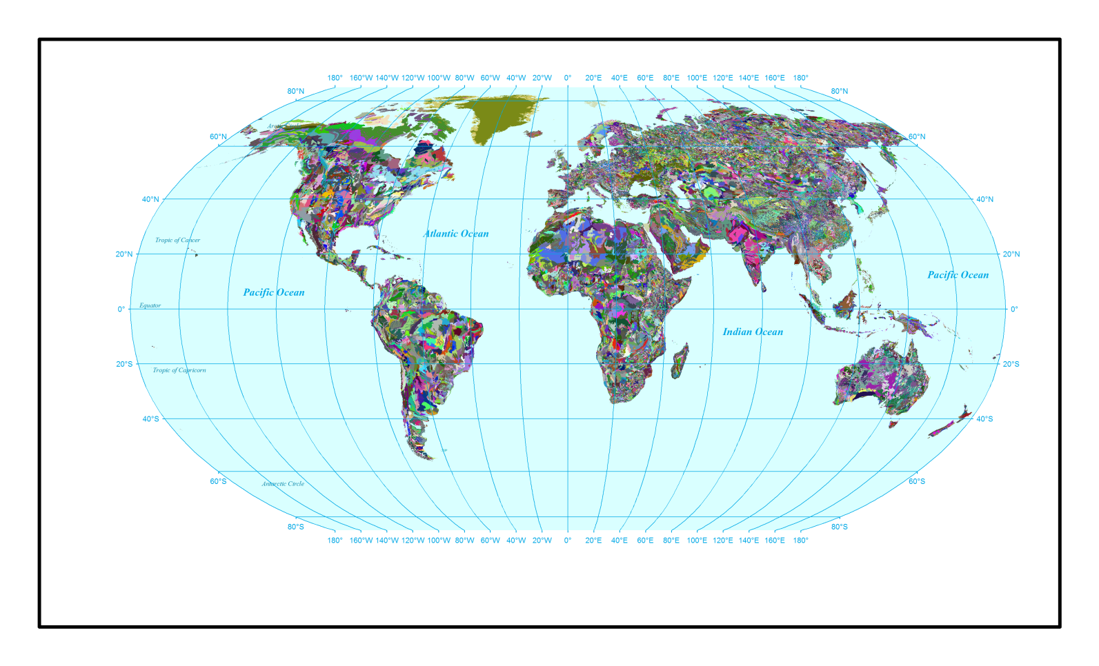
Global_Soil_HWSD(v121)
The Food and Agriculture Organization of the United Nations (FAO) and the International Institute for Applied Systems Analysis (IIASA) combined the available regional and national soil information with the information already contained within the 1:5,000,000 scale FAO-UNESCO map into a new comprehensive Harmonized World Soil Database (HWSD_v121) at a resolution of about 1 km (30 arc seconds) consisting of a 30 cm topsoil layer, and a 70 cm subsoil layer.
Associated files include: "Lookup_Soil_HWSD(v121).txt", and "SWAT2012.mdb". These files are directly usable in ArcSWAT models. The database contains parameters from 16,328 soil units globally.
The provided soil map has the "WGS-84 Spatial reference" without projection.
The users will have to project this map before using it in ArcSWAT or QSWAT.
Associated files include: "Lookup_Soil_HWSD(v121).txt", and "SWAT2012.mdb".
Download related article from "Nature Scientific Data":
https://www.nature.com/articles/s41597-019-0282-4